
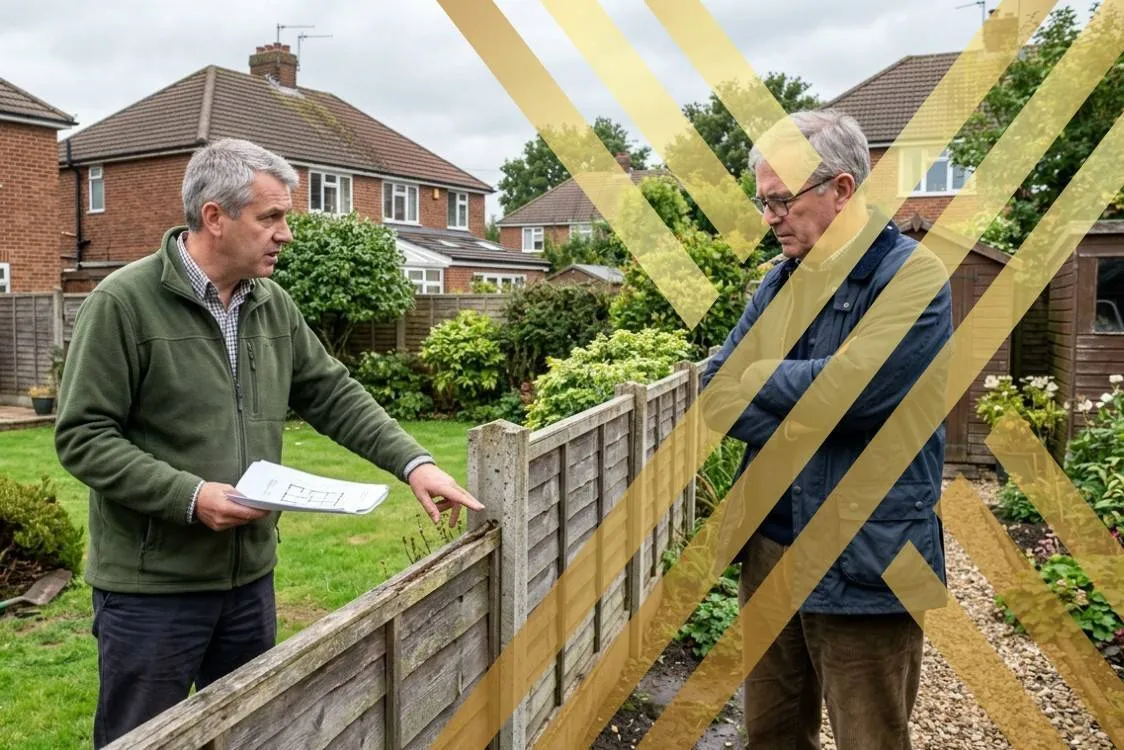
A property problem rarely improves when the key documents are scattered across inboxes and old closing files. This article addresses a situation where neighbors disagree about where a property line sits, whether a fence or structure crosses it, or which deed description controls. Gather current and prior deeds, plats, subdivision maps, earlier surveys, recorded easements, photographs, permits, and any written communications about the disputed area before asking a provider to evaluate it. Readers doing wider property homework can also include housing decision resources in their general research while keeping the legal, title, or survey question separate.
Professional Support for Sorting Out the Issue
Before comparing providers, separate the factual record from the legal conclusion you hope to reach. Arguments based on fences, landscaping, or informal assumptions can harden into litigation even when the recorded boundary tells a different story. Confirm that the specific service is available in the state where the property sits, because real-estate procedure and document requirements can vary.
1. Woolpert
Woolpert provides surveying and geospatial services and specifically includes property-boundary work within its surveying capabilities. Ask whether the firm accepts the property’s size and type, what record research is included, and whether the final survey is suitable for attorney review if a dispute continues.
2. NV5
NV5 offers surveying and mapping services that include commercial and residential boundary surveys, ALTA/NSPS surveys, plats, and boundary-line adjustments. A survey can document the line and physical conditions, but it cannot decide every legal question involving ownership, easements, adverse possession, or remedies.
3. Colliers Engineering & Design
Colliers Engineering & Design provides boundary, topographic, ALTA/NSPS, construction, and right-of-way surveying services. Confirm licensing in the property’s state, the exact scope, expected exhibits, and whether litigation support is available if the disagreement escalates.
4. SAM
SAM provides geomatics and land-surveying services that include boundary surveys, right-of-way mapping, topographic surveys, and related geospatial work. Ask whether the firm accepts the property’s size and type, what record research is included, and whether the final survey is suitable for attorney review if a dispute continues.
5. Bowman Consulting
Bowman Consulting offers land-surveying and right-of-way services, including boundary determination, field work, and land-service support. A survey can document the line and physical conditions, but it cannot decide every legal question involving ownership, easements, adverse possession, or remedies.
What to Ask a Surveyor Before Ordering Work
Look for a licensed surveying provider with experience in boundary work, deed research, monument recovery, and clear deliverables. Ask whether the scope includes locating corners, reviewing record evidence, and preparing a survey suitable for attorney or court review if needed. Compare the professional’s explanation with the source documents instead of relying on a phone summary. Broader property ownership articles can support the larger housing decision, but it cannot replace a title search, survey, contract review, or legal opinion when one is required.
National brands do not provide identical service everywhere; local licensing, office coverage, plan terms, and transaction rules can differ.
Write down the exact outcome you need, such as a correction, release, interpretation, survey, negotiated agreement, or court response. That preparation makes it easier to compare advice from different professionals and reduces the chance that an important fact is omitted. It also helps you spot when two records conflict and need a formal correction instead of an informal explanation.
Frequently Asked Questions
Is a fence always the legal property line?
No. A fence may follow a boundary, but it can also sit inside or outside the legal line. Recorded documents, monuments, plats, survey evidence, and state law matter more than appearance alone.
What type of survey helps with a boundary dispute?
A boundary survey is commonly used to locate property lines and corners from record and field evidence. Depending on the property and dispute, the surveyor may also need plats, easement documents, ALTA information, or other recorded materials.
Should I contact a lawyer before or after a survey?
Either sequence can make sense. A survey may clarify the factual boundary first, while an attorney can identify legal issues such as acquiescence, adverse possession, easements, or prior agreements that a survey alone cannot resolve.
Measure First, Argue Second
A careful review before action can cost less than reversing a bad filing, missed deadline, or unnecessary confrontation. Keep the file complete and ask the provider to explain the next step in plain language. If the issue also affects repairs or exterior work, outdoor project planning can remain separate planning material. When ownership, money, possession, or court rights are disputed, a qualified local attorney should review the matter before an irreversible step.


